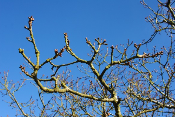
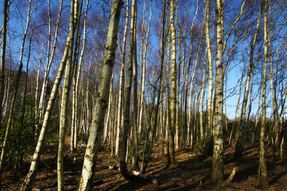
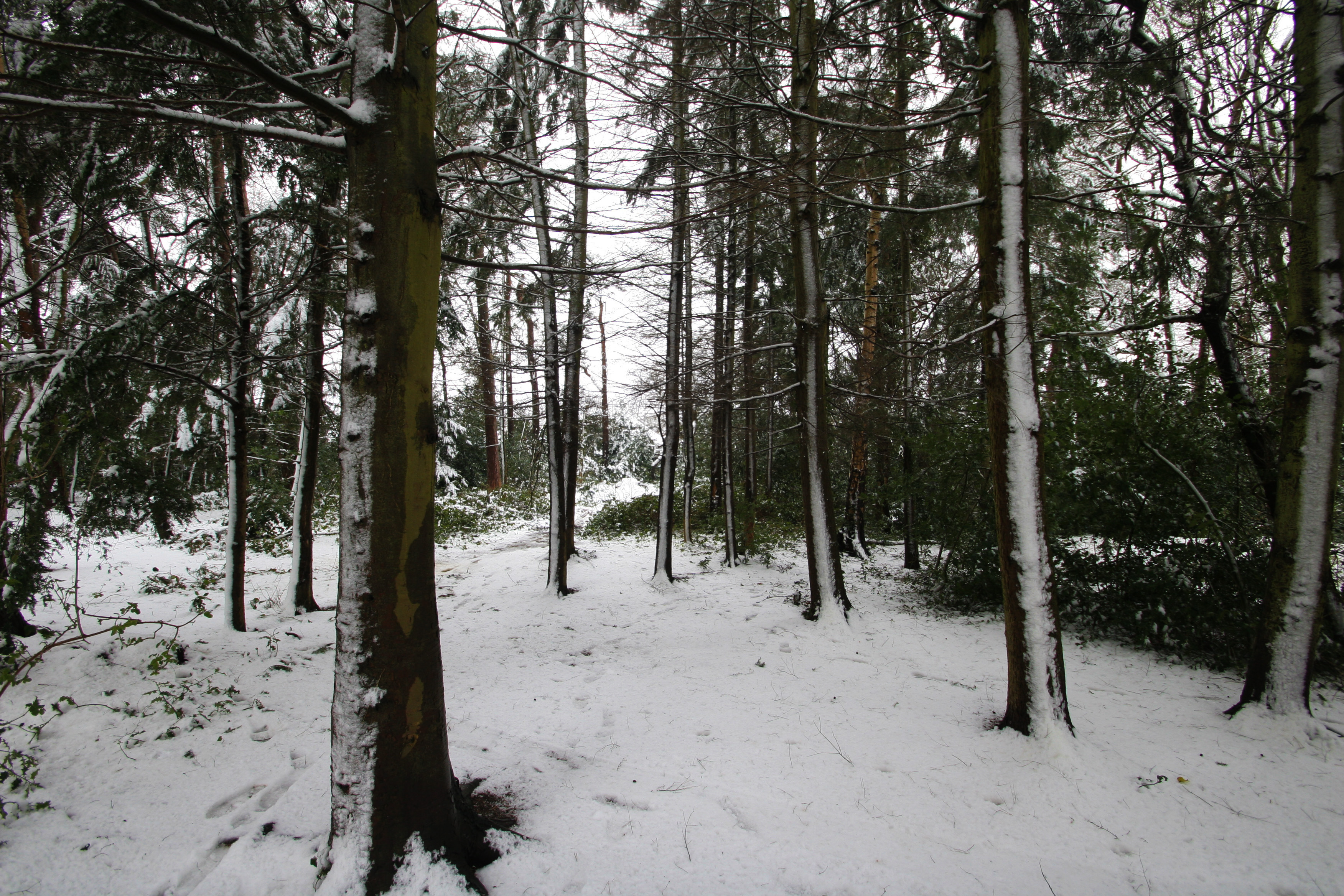
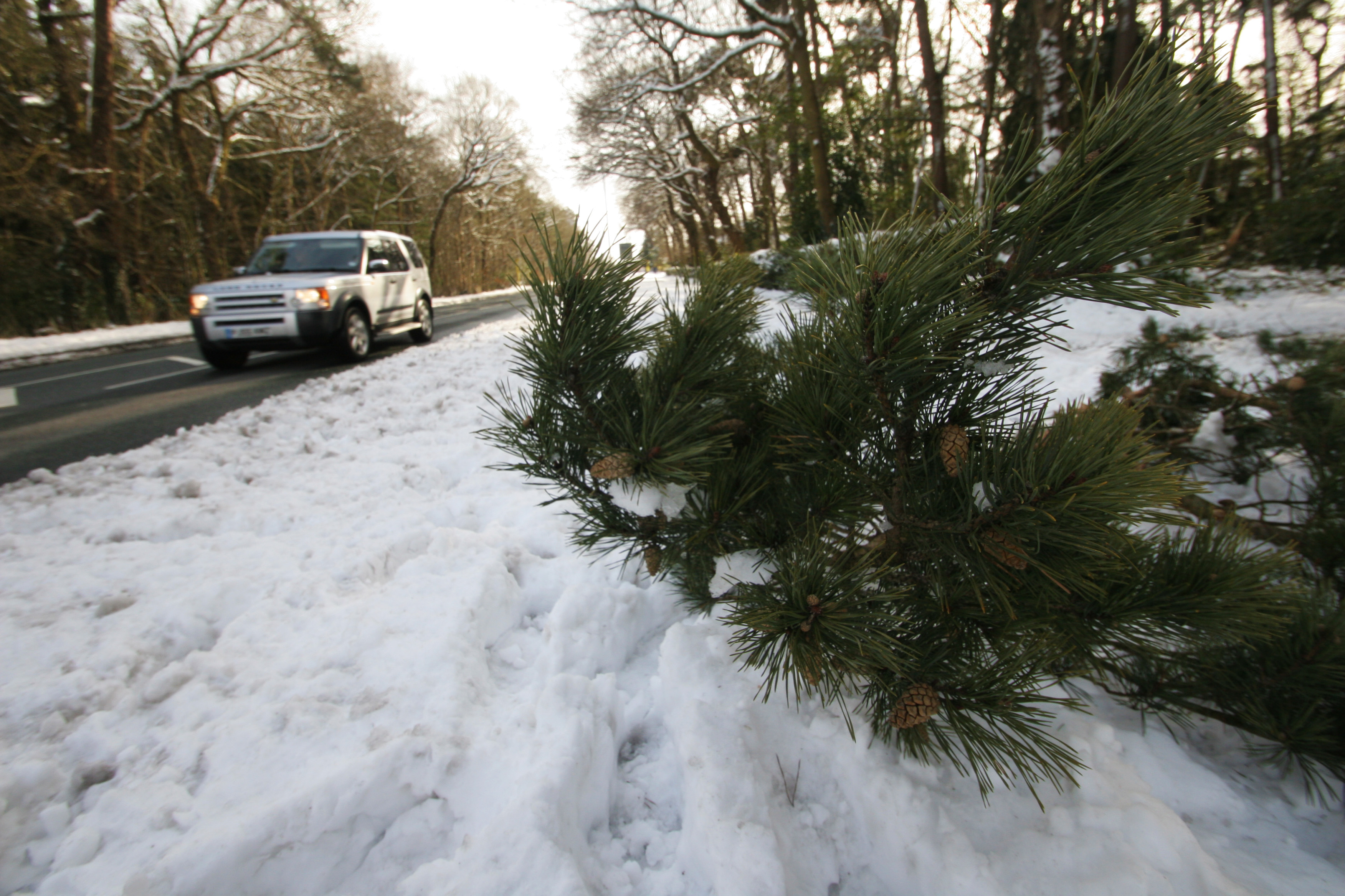
It was a bright Saturday morning and I had a walk onto Bidston Hill. I walked up the Thermopylae pass in Noctorum, crossed Upton Road and walked through the birch and scots pine wood and through the gorse and heather escarpment onto Bidston Hill.
Thermopylae pass
The Thermopylae pass is a triangular tract of land that is linked to Bidston Hill, it’s known locally as the ‘mops’.

It appears to be named the Thermopylae pass after the narrow pass of the same name on the east coast of central Greece. The Thermopylae pass in Greece was a narrow path between land and sea and was used as a strategic defensive site. In 480 BCE, during the second Persian invasion of Greece, a small Greek force under the Spartan king Leonidas defended Attica and Boeotia against the southward advance of the Persian army while Greek fleets at nearby Cape Artemesium fought off the attacking Persian navy. This battle became celebrated in history and literature as an example of heroic resistance against great odds. I have not found out why this small piece of land to the west of Bidston Hill has been named after such an historic site from ancient history.

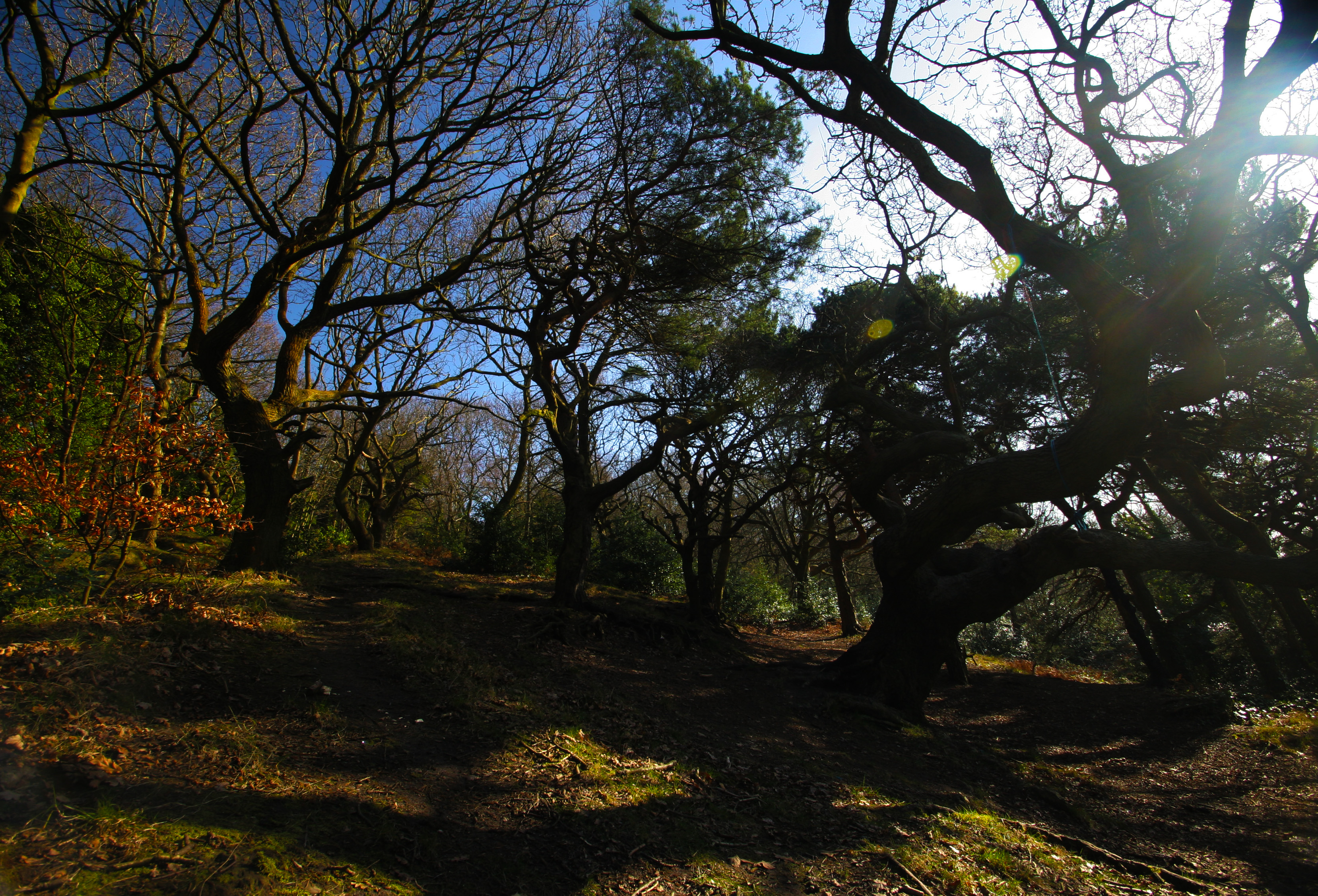
There are several paths amongst the trees. The main path goes straight through the trees and is enclosed by large houses which back onto the site.


You walk through a small tunnel which goes under Vyner Road South and after a short while the path emerges out onto Upton Road. Crossing the road we pick up one of the many paths which head for the top of Bidston Hill.

Bidston Hill
Bidston Hill is one of the highest points on the Wirral at 231 feet, it is the starting point for one of the two approximately parallel Triassic sandstone ridges that run down the length of the Wirral peninsula. The western ridge is made up of Grange Hill in West Kirby, Caldy Hill, Thurstaston Hill, Poll Hill and Burton Hill. The less continuous eastern ridge starts with Bidston Hill and stretches out to Prenton and then Storeton Hill. The shallow Fender Valley, between the two ridges was carved out by a large glacier in the last ice age.

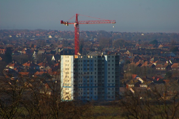
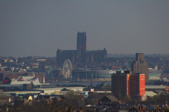
From the sandstone pavement on the top of the ridge you can get a good view across to Liverpool on one side and across Wirral to North Wales but it was too hazy today to see Wales today, but a good view of the demolition floor by floor of the ‘Thornridge’ high rise block in Moreton to the west. In Liverpool the Anglican cathedral stands prominent as always.

Bidston Hill and the land around Bidston Windmill and the adjacent land known as the Thermopylae pass was purchased from Lord RG de Grey Vyner between 1894 and 1908 for £30,310 by the then Birkenhead Corporation for the benefit of the public and to protect the site from further house building. The Corporation found £14,625 toward the purchase and the remainder was raised by public subscription. As the plaque on the windmill says the 90 acres of land belongs to and is maintained by Birkenhead Corporation (now Wirral Borough Council). The deeds require the land to be always used as an open space for public recreation and that the windmill is preserved and the land kept in its wild state with trees, heather and gorse. The Friends of Bidston Hill were formed in 1994 to protect and promote the flora and fauna in the area. The ‘Friends’ work in partnership with Wirral Council Parks and Countryside Service to protect the area and work on projects for the benefit of the Hill and its users.

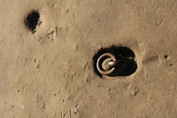
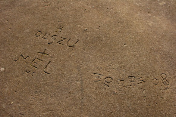
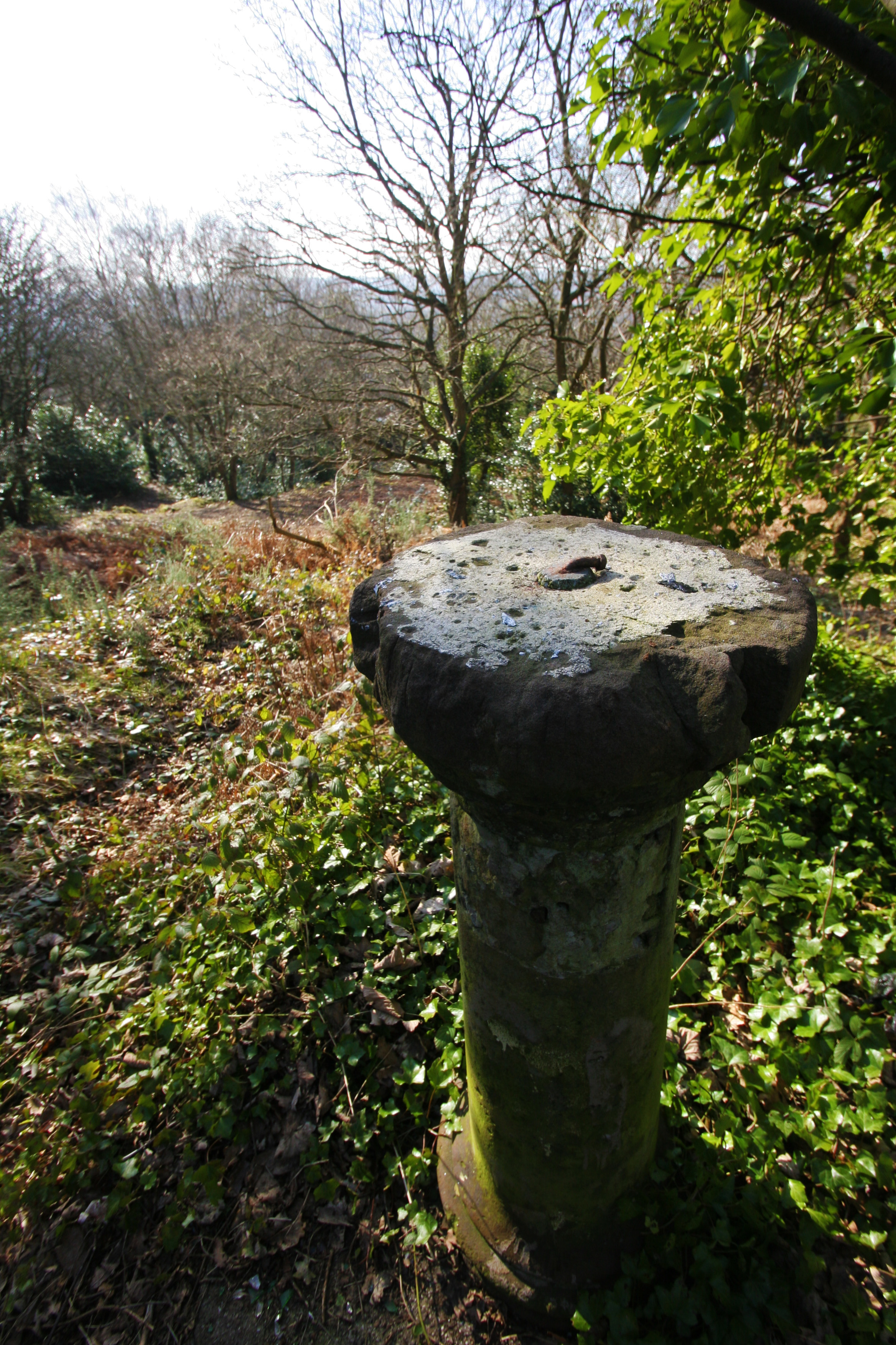
Many people have carved their names into the soft red sandstone. A vane mooring ring is still anchored in the sandstone next to the windmill.
To gain access to the Windmill and Observatory beyond you cross an iron footbridge which takes you over the deep rocky cutting above the road below Vyner Road North.

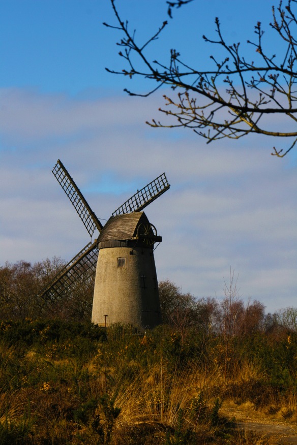
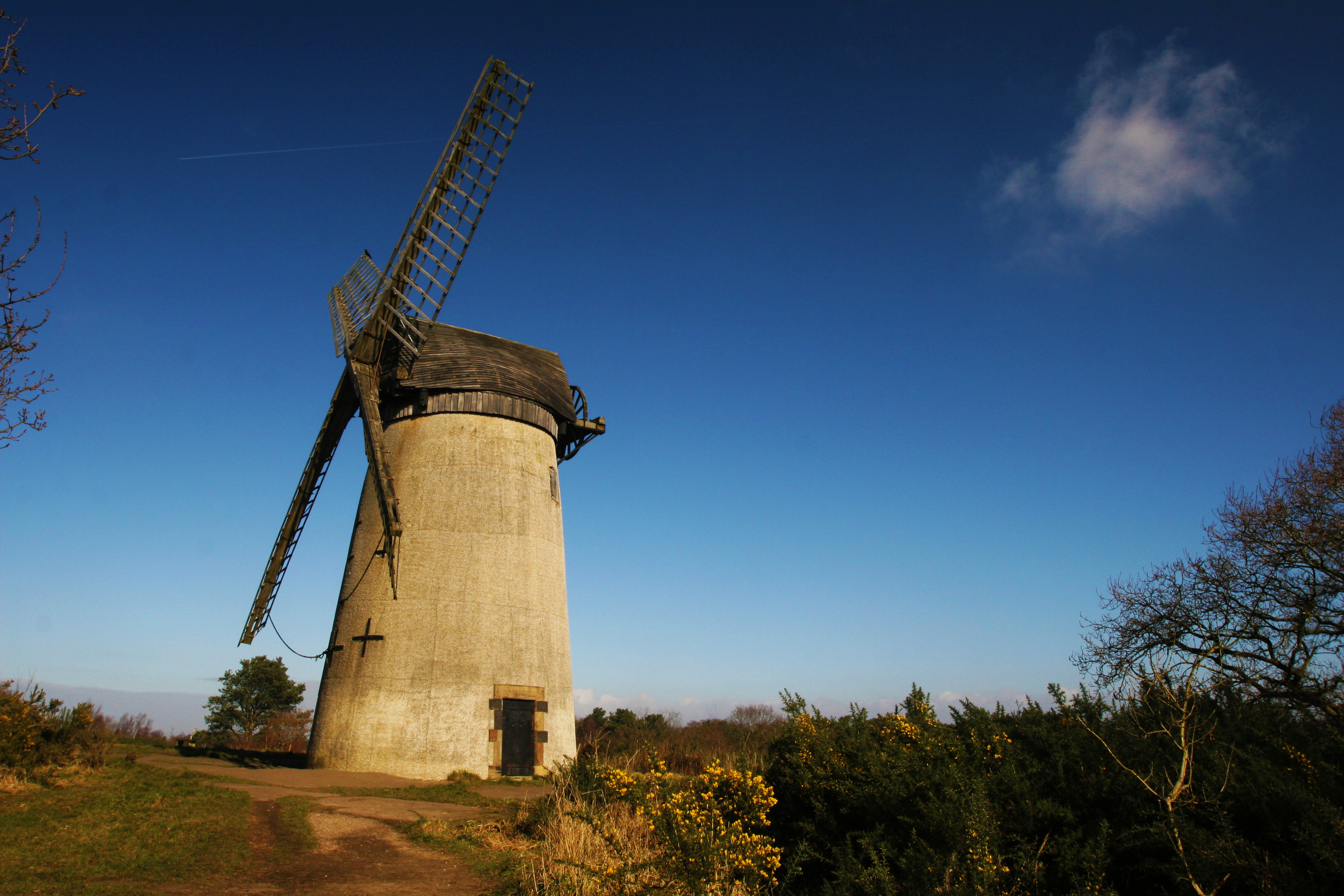
Bidston Windmill
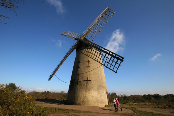
The brick windmill was built in 1800 as a flour mill. Mr Youds was the last miller to work it before it closed as a working mill in 1875. It has been repaired several times: in 1927 through public subscription and most recently in 2006 the roof of the windmill was replaced as part of a refurbishment program to maintain the structure by Wirral; Borough Council.

It is believed that there has been a windmill on this site since 1596 but the previous structure, a wooden peg mill, was destroyed by fire in around 1791.
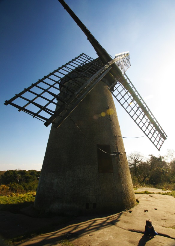
The top or ‘cap’ of the mill can be rotated through 360° so the sails could be moved to follow the direction of the wind. On the back of the mill a large wooden chain-wheel, was used to slowly turn the roof around using a rack and gear system. The windmill has an extra door preventing millers walking out of the mill into the rapidly turning sails. However one of Mr Youds’ predecessors came out the wrong door and was hit by one of the four heavy sails and was killed.
The Friends of Bidston Hill open the Windmill to the public on the second Saturday of every month between April and September. During the winter months, when hibernating bats are in residence, the windmill is closed. The ‘Friends’ have a useful website at http://www.bidstonhill.org.uk/

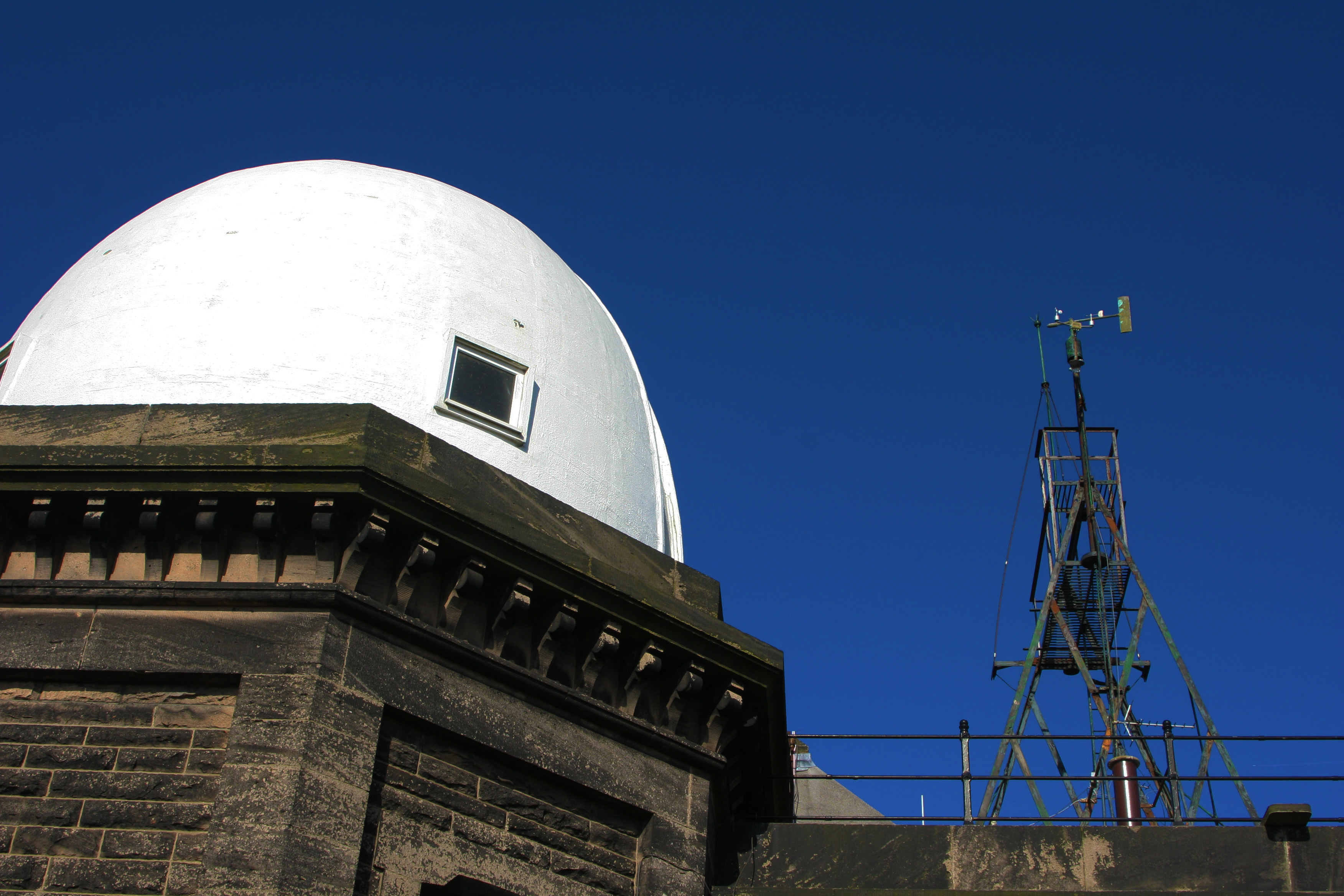
Bidston Observatory
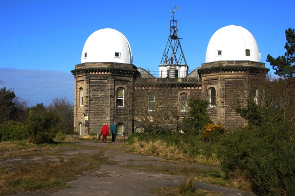
Bidston Observatory was built originally in 1866 using local sandstone excavated from the site. The Observatory was used to determine the exact time from the stars which was then sounded by the One O’clock Gun which was situated at Morpeth Dock between Woodside and Seacombe Ferry on the River Mersey.

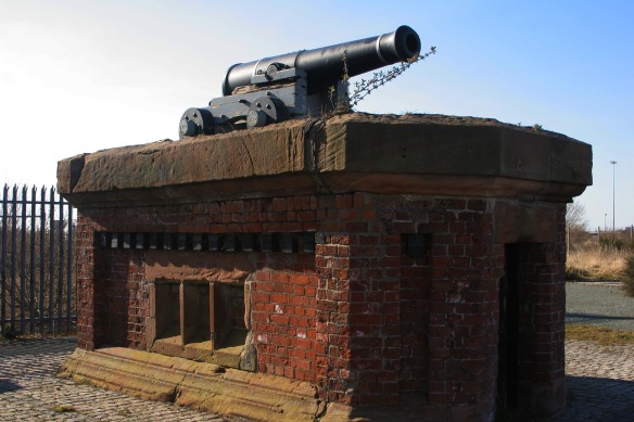
At exactly 1:00 p.m. each day, the ‘One O’Clock Gun’ would be fired electrically from the Observatory providing a time signal to shipping on the Mersey. It was fired for the first time on 21 September 1867 by the original cannon which was a relic of the Crimean War.
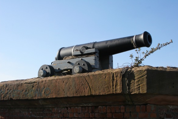
Due to the advent of radio and increasing maintenance costs it was proposed to discontinue the practice in 1932. Whilst this didn’t happen firing was suspended during the Second World War but the tradition ceased altogether on 18 July 1969.


The Observatory is long associated with weather and tidal research; it was relocated from Liverpool’s Waterloo Dock in 1866. In 1929 the work of the Observatory was merged with the University of Liverpool Tidal Institute. It was the Tidal Institute, under the directorship of Professor Joseph Proudman, that was responsible for the most internationally-significant part of the observatory’s history. The first tide-predicting machines in the world were created at Bidston. As well as being used for commercial purposes, the machines were also used to help with the war effort and D-Day Landings.


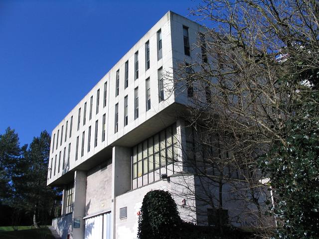
The Observatory and University Tidal Institute were taken over in 1969 by the Natural Environment Research Council (NERC). In 1974, Birkenhead Corporation leased the lighthouse gardens to the NERC on a 99 year lease and a new four storey Proudman Oceanographic Laboratory was constructed here in the modern style of the day in concrete and glass. The new facility opened in April 1979 being named after Professor Proudman CBE, FRS who was born in 1888 but had died on 26 June 1975.
However the Research Council relocated the Proudman Oceanographic Laboratory to the main University of Liverpool campus in 2004 which is now part of the National Oceanography Centre.

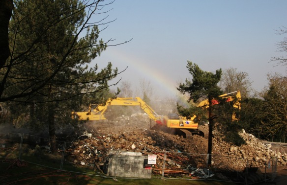
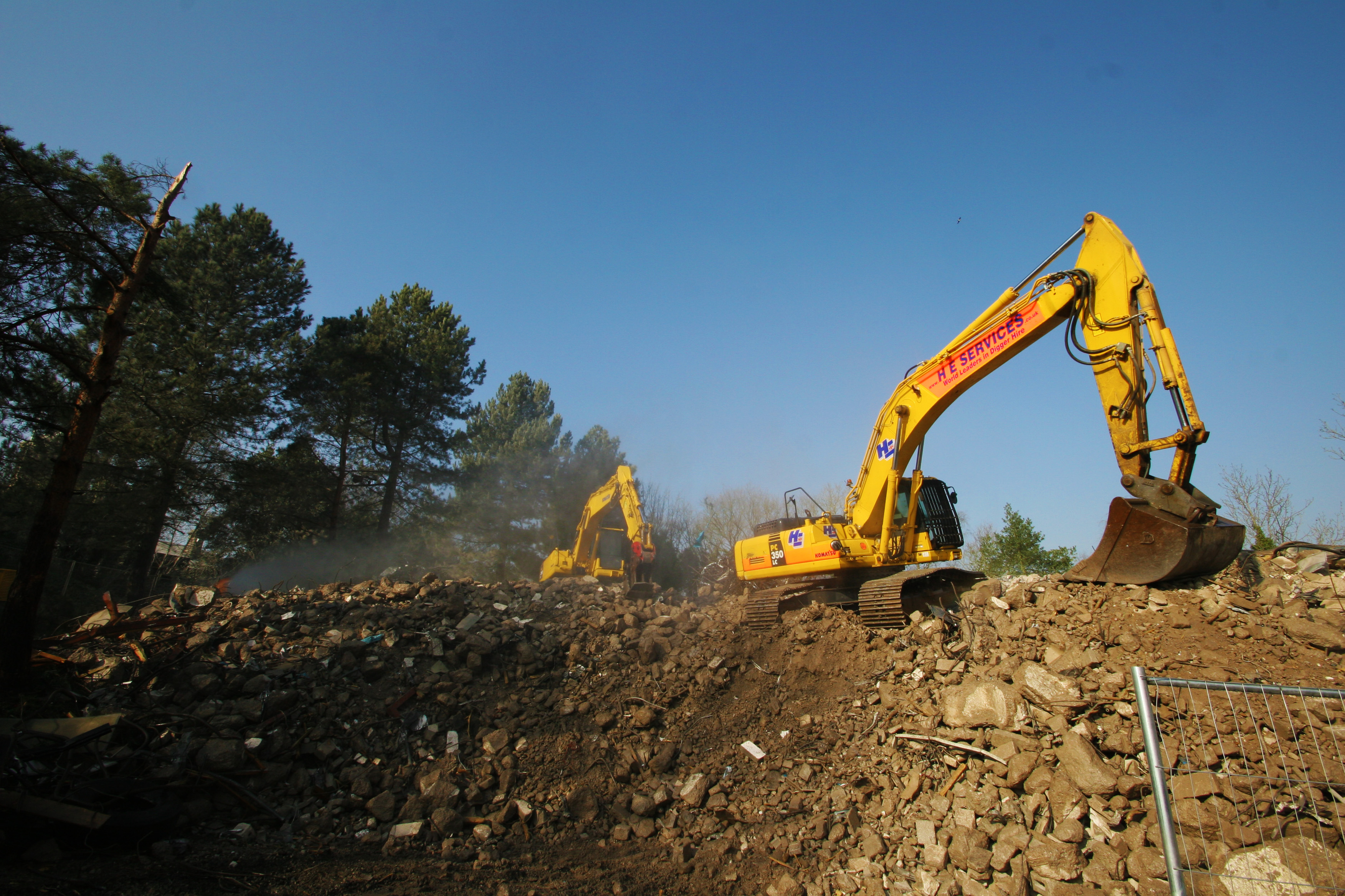
From 2005 until 2012 the NERC tried to sell the Proudman Oceanographic Laboratory but was unable to do so as there was little interest. NERC says it is still seeking a new owner for the twin domed Victorian observatory which is a listed building with plans to convert it into luxury flats but the plans for the Proudman building were to demolish it due to the ongoing cost of maintenance. In 2011 the Bidston Preservation Trust had asked the council to halt the demolition and allow community use for the centre and they were exploring whether the building could be listed as an historic building. The Trust were unsuccessful and the demolition of the 1970’s building started at the turn of 2013 and by 25 February the striking white four storey building which could be clearly seen from the M53 motorway was a pile of rubble. The old Observatory building is currently occupied by ‘guardians’ who live there and provide a presence to deter vandals and the like.
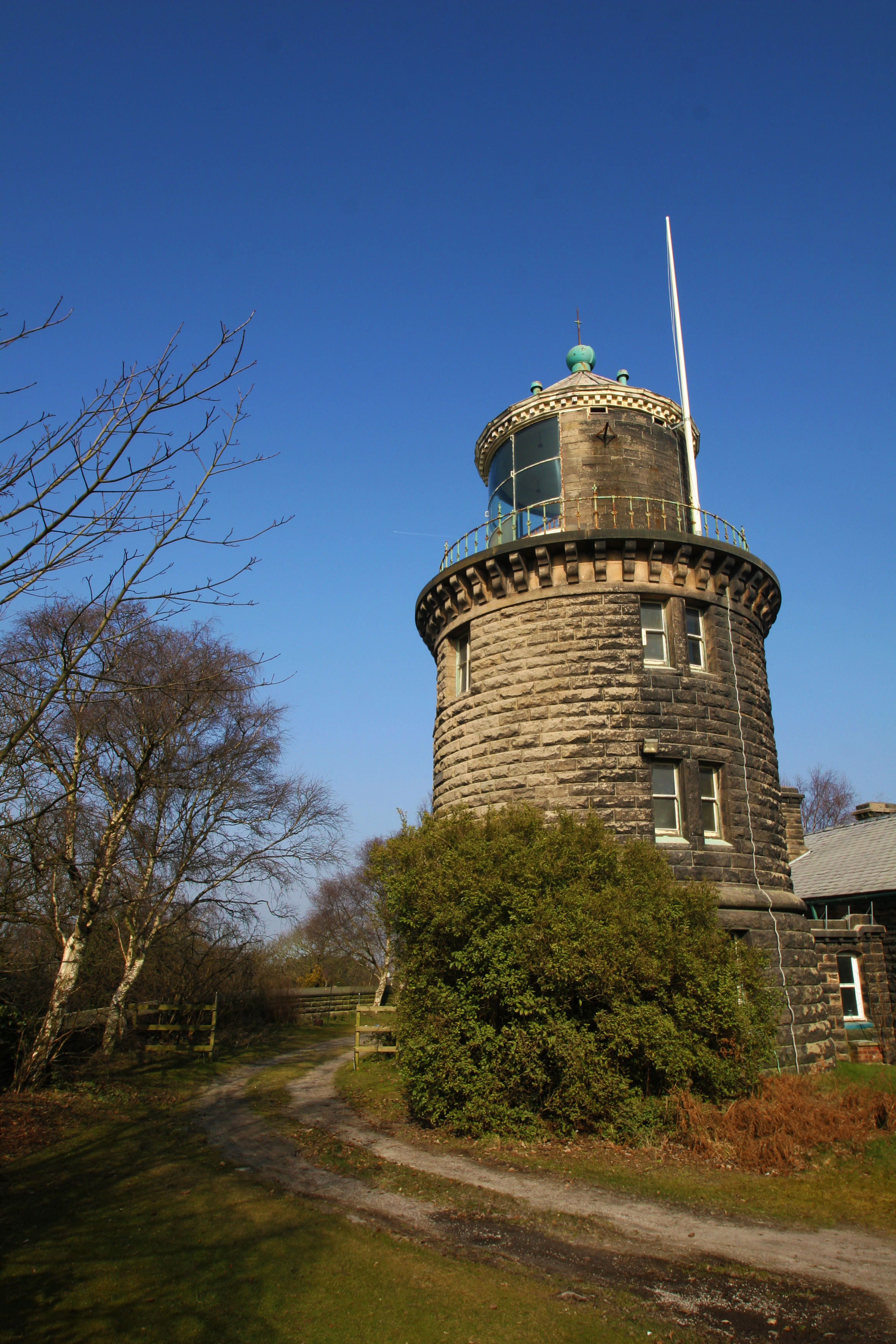
Bidston Light House
Just along the ridge from the Observatory is the Lighthouse and cottages which are connected to the tower building. There has been a lighthouse on the hill since 1771. The present lighthouse was built in 1873 and was operational until 1913.

The Bidston Lighthouse is the furthest from the shore than any other lighthouse in Britain. Together with the Leasowe Lighthouse, it enabled the ships to avoid the sandbanks in the channel as they came into Liverpool.

The original tower was octagonal, and the lamp room featured a parabolic reflector, 13’6″ in diameter, developed at the Bidston Signals Station by William Hutchinson, Liverpool Harbour Master and one-time privateer. Hutchinson’s reflector enabled the light to be seen at a distance of 21 miles.

The present Bidston Lighthouse and the cottages for the lighthouse keepers were built by Mersey Docks and Harbour Board in 1873, after the original lighthouse was damaged by fire and demolished. In 1935, ownership passed to the Birkenhead Corporation, who used the cottages for accommodation but now the lighthouse and cottages are privately owned having been sold to a sitting tenant in 2004 and the others to private individuals in 2011. There is a blogsite about the lighthouse at http://www.bidstonlighthouse.org.uk/

The Lighthouse, the Cottages, the Observatory, and wall around the perimeter of the site all became Grade-II listed buildings in December 1989.
I wonder how they will fare over the next hundred years.


